Barcelona neighbourhoods are the small, locally named areas that make up the city’s larger districts, and knowing how the two layers fit together makes maps, addresses and local news far easier to read.
This guide sits inside the wider topic of living in Barcelona, and it explains how the city is organised rather than ranking any area.
How the city is divided
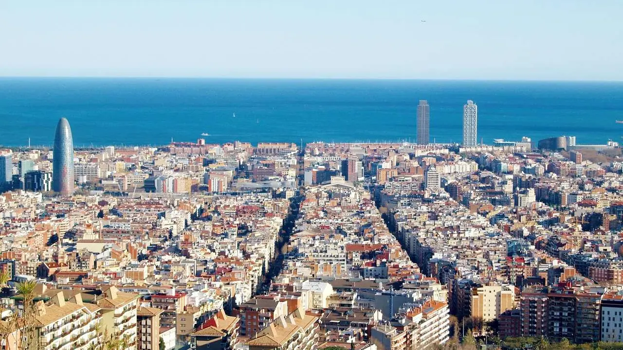
The city council’s own welcome pages for newcomers state that the city is divided into 10 districts and 73 neighbourhoods. Districts are the big administrative units. Neighbourhoods, known locally as barris, are the smaller areas inside them, and these are the names residents tend to use in everyday conversation.
According to Wikipedia’s overview of the districts, each district is administered by a councillor designated by the main city council, and each has some powers relating to issues such as urbanism or infrastructure in its area. The current division of the city into districts was approved in 1984, which is a useful date to remember when comparing older maps with newer ones.
Both layers appear on maps, in local news and in conversation. Learning a handful of names early is the quickest way to place a story, a street or a bus route, and it helps to treat the district as the wide frame and the neighbourhood as the detail.
From separate towns to city districts
Much of the character of today’s areas comes from history. The council’s history page explains that Barcelona was originally a small Roman city called Bàrcino, and that the Roman walls surrounding the heart of the city still embrace that early settlement. Over the centuries the city grew outwards from this core, later industrialising and becoming the economic driving force of Catalonia.
As the city expanded, nearby towns were absorbed. Wikipedia notes that some districts have a previous history as independent municipalities, among them Sarrià, Les Corts, Sant Andreu de Palomar, Gràcia and Sant Martí de Provençals. That helps explain why these places often feel like small towns with their own centres, squares and festivals, rather than simply parts of a single grid.
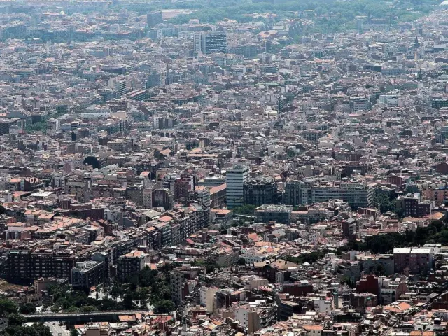
The same page adds that other municipalities touching Barcelona, including L’Hospitalet de Llobregat and Badalona, remained separate towns and belong to the much larger metropolitan area. A map of the city therefore ends at an administrative line that does not always match the built-up area a visitor sees on the ground.
The districts and some of their neighbourhoods
The city’s ten districts are listed below with a few of the neighbourhoods that Wikipedia’s district table places in each. The lists are examples, not complete inventories, and the order follows the official district numbering.
- Ciutat Vella (the Old City): El Raval, El Gòtic, La Barceloneta, and Sant Pere, Santa Caterina i la Ribera.
- Eixample: Fort Pienc, Sagrada Família, Sant Antoni and the Dreta, Antiga Esquerra and Nova Esquerra areas of the Eixample.
- Sants-Montjuïc: Poble-sec, Hostafrancs, Sants and La Marina de Port.
- Les Corts: Les Corts, La Maternitat i Sant Ramon and Pedralbes.
- Sarrià-Sant Gervasi: Sarrià, Les Tres Torres, El Putxet i el Farró and Vallvidrera.
- Gràcia: Vila de Gràcia, El Coll, La Salut and Vallcarca i els Penitents.
- Horta-Guinardó: Horta, El Guinardó, El Carmel and Montbau.
- Nou Barris: Porta, Les Roquetes, Verdum and Ciutat Meridiana.
- Sant Andreu: Sant Andreu de Palomar, La Sagrera, Bon Pastor and Navas.
- Sant Martí: El Clot, Poblenou, El Besòs i el Maresme and Diagonal Mar.
Some district names join older place names together, such as Sarrià-Sant Gervasi, Sants-Montjuïc and Horta-Guinardó. Within a district the neighbourhood names are often more useful than the district name itself, because they point to a specific area of streets rather than a wide administrative zone.
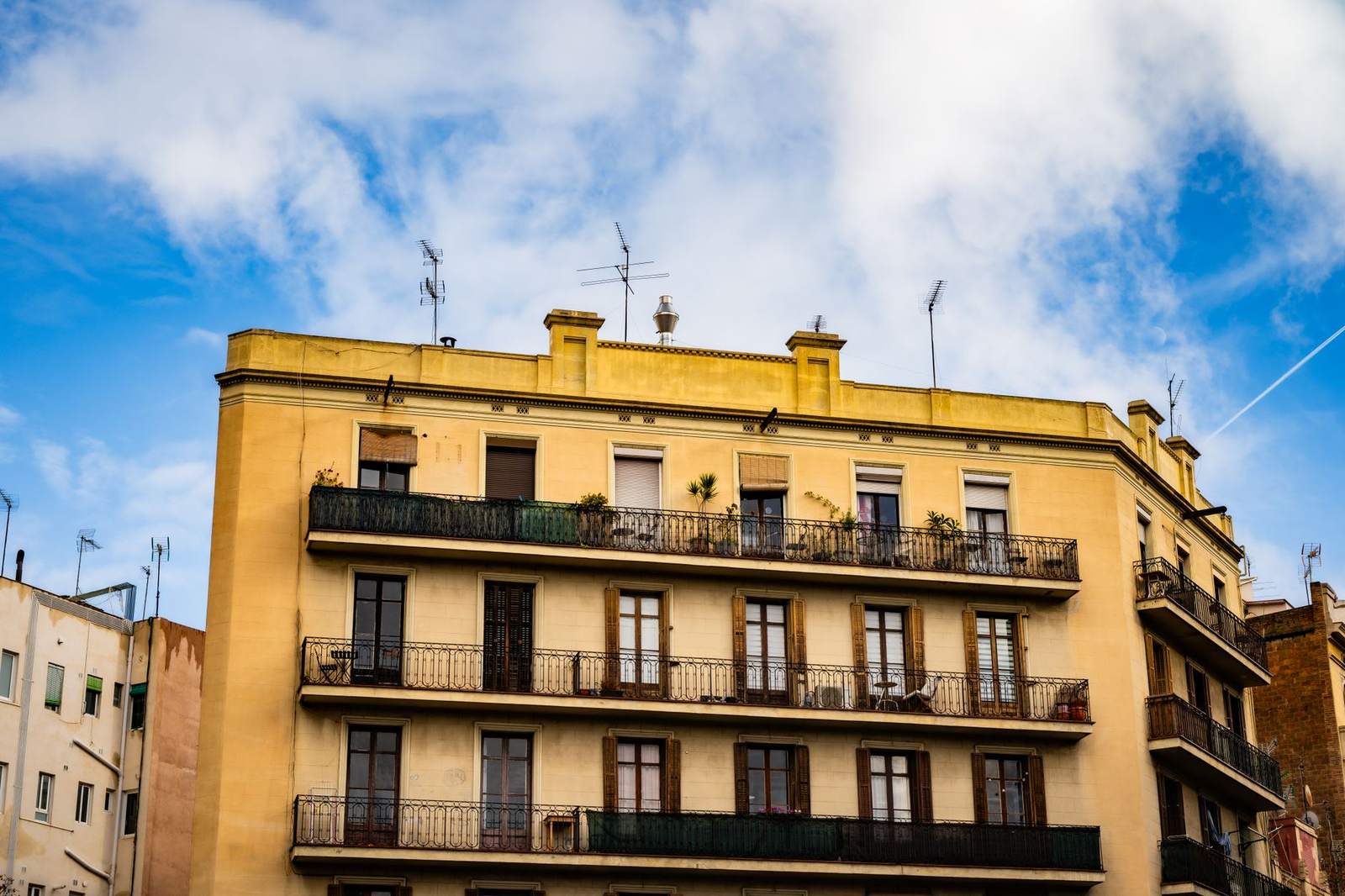
Everyday life at neighbourhood scale
The council’s guidance on where to live describes residents as strongly attached to the neighbourhood they live in, with many playing an active part in its social and community life. It also notes that Barcelona’s blocks mostly hold multi-family dwellings and that people usually socialise outside their homes, helped by the climate.
That outdoor habit shapes how neighbourhoods feel, because streets and squares double as shared living space for residents. Readers curious about the weather that makes this possible can read about the Barcelona climate and how the seasons change daily routines.
The same city page points out that detached houses with gardens are found mainly in residential zones of the metropolitan area rather than inside the city, and that the metropolitan public transport system lets people reach nearby cities within a relatively short time. Anyone comparing areas should treat this as general context and check current details directly with the council.
Areas that are still changing
Not every neighbourhood is old. The council’s business pages describe 22@Barcelona as a district that has become a leader of the city’s innovation and knowledge economy, mixing companies, universities, research centres, housing and green spaces while preserving much of its industrial heritage.
Another example is Marina del Prat Vermell, which the council describes as the project driving the city’s expansion towards the south, in the Sants-Montjuïc district, close to Zona Franca and the Llobregat River. The council says it is set to become a vibrant new neighbourhood. These pages promote investment, so they are best read as the city’s own account of its plans rather than a neutral assessment.
Such projects are a reminder that the neighbourhood map is not fixed. New areas appear, and older areas change character as buildings and land are put to new uses, so a guide like this one is best treated as a starting point rather than a final word.
Reading a neighbourhood map in practice
Neighbourhood names on signs, maps and in conversation may be written in Catalan, Spanish or both, so it is worth trying more than one spelling when searching for information.
A few habits make the official division easier to use. Start with the district to understand which part of the city is meant, then narrow down to the neighbourhood. Names that sound alike can refer to quite different places, so it helps to check the district whenever a neighbourhood name appears in an unfamiliar context. Check whether a name refers to a formal barri or to an informal area that locals use, since the two do not always match.
Moving between areas is simple to plan once the layout is clear, and the guide to getting around Barcelona covers the main ways to travel between them. When an official source gives a boundary, a service area or a statistic, prefer it over informal descriptions, and note the date, because the city updates its data over time.
Finally, remember that opinions about areas vary widely and personal circumstances differ. A neutral approach is to use the council’s maps and the city’s published information, and to visit an area at different times of day before forming a view.
Frequently asked questions
What is the difference between a district and a neighbourhood in Barcelona?
A district is the larger administrative unit, while a neighbourhood is a smaller named area within it. Both are used on official maps and in everyday talk, but residents usually identify with their neighbourhood.
How many districts and neighbourhoods does the city have?
The city council states that the city has 10 districts and 73 neighbourhoods in its welcome guidance for newcomers.
Did the districts used to be separate towns?
Several were. Places such as Gràcia and Sarrià began as independent municipalities before the city absorbed them, according to Wikipedia, which is why they keep a distinct local identity.
Where can official information on a specific area be found?
The council’s main portal, barcelona.cat, and the individual district pages of the Ajuntament carry notices, agendas and local services. This guide is independent and not affiliated with the council.