Barcelona superblocks, called superilles in Catalan, are groups of streets where through traffic is reduced so that space goes back to people on foot. The idea has grown from pilot projects into a citywide street programme.
This guide explains how the model works, what it changes on the street and what studies say. For wider context on neighbourhoods, transport and daily routines, see the guide to living in Barcelona.
What a superblock is
The city council describes its Superblock programme as a street transformation model for the entire city, with the aim of reclaiming for citizens part of the space currently occupied by private vehicles. The stated goal is a healthy, greener, fairer and safer public space that promotes social relations and the local economy.
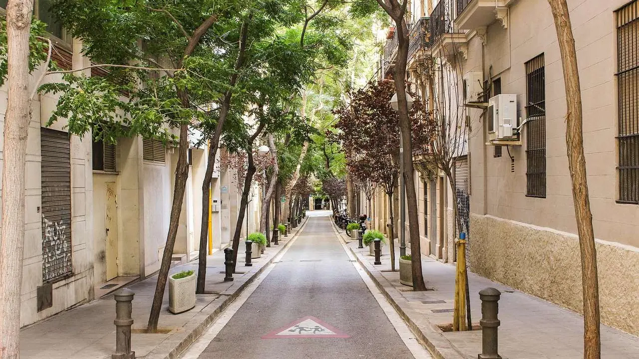
In practical terms, a superblock rearranges how vehicles move through an area. Instead of every street carrying through traffic, longer journeys are kept to larger perimeter roads, while the streets inside stay for local use. That frees pavements, junctions and carriageways for seating, play, planting and neighbourhood activity.
The programme is run by the city administration. This website is an independent explainer and is not connected to the council or to any of the bodies mentioned in it, and the official pages remain the place to check current plans and street works.
The first superblocks and how they developed
The council’s own survey of the Poblenou project states that the Poblenou superblock was created in September 2016. It represents the basic model, covering exactly nine blocks of the Eixample laid out as a square grid, with the main streets around its edge and the inner streets calmed for neighbourhood use.
The same page explains that the first measures were temporary, reversible and immediate, so that new uses became visible. Residents were then invited to review and adjust the layout, and ground paint, street furniture and trees in containers created seating areas, particularly for children.
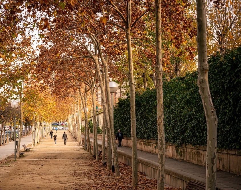
Other early projects followed. According to the programme’s home page, small-scale initiatives were carried out in areas such as Poblenou, Horta and Sant Antoni. A published evaluation notes that the first phase in Sant Antoni, completed in May 2018, centred on the surroundings of the Sant Antoni market.
Readers curious about the covered food halls found across the city can read the separate guide to barcelona markets.
From single blocks to green hubs and squares
After the small-scale pilots, the council’s English-language programme page described a move to a network of green hubs and squares where pedestrians have priority, with the Eixample district as the priority, extending what began near the Sant Antoni market.
The council’s Eixample page set out the plan for the term of office in which it was written. It listed parts of Consell de Cent, Rocafort, Comte Borrell and Girona streets as green hubs, with large squares at the junctions between them, and noted that tactical traffic-calming measures had already been taken in some of these hubs during the pandemic health emergency. The programme’s home page also described a network of green hubs being created in the Sant Martí district.
Those pages describe plans rather than current status. The Catalan version of the programme’s home page now refers to Superilles in the past tense, as a model for transforming the city’s streets that was in force over several terms of office. It says the programme’s last action was carried out on Consell de Cent, Rocafort, Comte Borrell and Girona streets, and that works were also done on several street sections in Sant Martí. The council’s own pages are the place to check what has been built and what is planned now.
The council’s questions and answers explain how streets were picked: the green streets are those used by the most people, with more commercial activity, facilities and public transport stops. Squares sit where two perpendicular green streets meet, because junctions are places where more surface can be gained for uses other than cars.
Rules of the road inside a superblock
A common worry is that these streets are closed. The official answer is that streets will not be closed to traffic: all vehicles can circulate, but with speed limits in place and priority for pedestrians and cyclists. The same page states that there will be no restrictions on access, so residents, businesses and car parks remain reachable.
The same questions and answers give the speed limit as 10 km/h. They also say that at junctions turned into squares, traffic cannot continue in the same direction and must turn left or right.
Pedestrians can use the whole surface of the street. Bicycles and scooters can move in both directions at a low speed while respecting pedestrians, and the programme aims to keep faster-travelling bikes in segregated bike lanes on basic mobility streets.
What the redesigned street looks like
The council’s page on the 21st-century street describes a move from streets designed for cars to streets designed for people. Green hubs are planned as single-level streets without barriers or divisions, so the difference in height between pavement and road disappears.
The same source says asphalt will give way to panot, the cement tiles associated with Barcelona pavements, upgraded to meet new resistance requirements. It also states that only 1% of the surface of today’s streets is allocated to greenery and that at least 10% will be dedicated to greenery in future streets. The council’s programme page estimated that the 21 hubs in the project would have as many as 4,000 new trees.
These are design intentions published by the council, not measured results. Actual layouts differ from street to street, and works are carried out in phases, so a visit may show a mix of finished and temporary features.
What studies say about health and the environment
Two kinds of evidence are easy to confuse: modelled projections and measured outcomes.
A health impact assessment led by ISGlobal, summarised in a 2019 press release, calculated that the city could prevent 667 premature deaths every year by implementing the original proposal in its entirety. That proposal was to create 503 superblocks throughout the city. The model was a projection of a full rollout, and the lead author stresses that the data presented are estimates and that the methodology has certain limitations. The council’s later programme was organised around green hubs and squares instead.
Measured results come from the city’s evaluation of the first superblocks, published in a peer-reviewed paper. Residents and workers in the evaluated superblocks reported a perceived improvement in well-being, tranquillity and quality of sleep, some reduction in noise and pollution and an increase in social interaction. The authors conclude that, although on a small scale, the evaluation supports expanding the model.
The same paper is careful about air quality. It reports that no overall significant air pollution changes were observed in Horta, and that in one of the superblocks the same intervention calmed traffic in one area but not in another. Results therefore depend on the location and on how traffic is redirected.
Debates and limits
The authors of the evaluation list limitations: the analysed superblocks affect small areas and the expected changes in health outcomes are also small, which makes measurement difficult. They also note that improvements to a neighbourhood could increase the cost of living and housing and have undesired effects such as the possible expulsion of residents, often called gentrification.
Residents of Poblenou were involved in adjusting the design after the first temporary measures, as the council’s survey page notes. For current positions on questions such as traffic displacement, parking, deliveries and local business, readers should consult the council’s participation pages and local press instead of relying on any single summary.
Everyday services still need to work around the new layouts. For a practical overview of household waste, bins and collection points, the guide to recycling in Barcelona covers the topic.
Frequently asked questions
What does superilla mean?
It is the Catalan word for superblock, a group of streets reorganised so that local streets serve residents and pedestrians rather than through traffic.
Can cars enter a superblock street?
Yes. According to the city’s published answers, vehicles may enter, but at a low speed limit and with pedestrians and cyclists having priority.
Has anyone measured the effects?
The city and researchers have evaluated the early projects through surveys, air measurements and observation. Findings vary by location, and the studies stress their own limits.
Who decides where new green hubs go?
The city council plans them, with a stated emphasis on busy streets with commerce, facilities and transport stops. The council’s programme website is the place to check current plans and status.